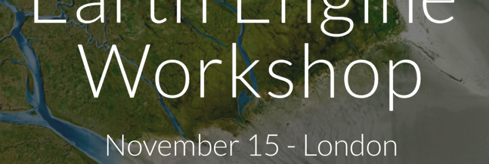
Category: Google Earth

When a map tells a story..

Last weeks tragic accident involving the crash of a Augusta helicopter in London, which claimed two lives is still fresh in the minds of most Londoners. Yesterday the Air Accident Investigation Branch (AAIB) published their initial accident bulletin, which describes the facts surrounding the accident as investigated without the analysis which will come in a later report in some months time.

The AAIB report illustrates the last few minutes of the flight of the helicopter using this graphic produced with Google Earth.


G-CRST track

The track data comes from the reported radar position and Mode S altitude data produced by the helicopters transponder. The helicopter an AW 109E G-CRST was flying south after attempting to land at Elstree, and from the track you can was flying east while waiting for clearance to land at the London Heliport in Battersea a few miles to the west. According to the AAIB report at 0759 clearance was received at the helicopter began a turn to the south to head back west towards Battersea.

G-CRST at Fairoaks (image flickr: billy_mcnally)

In the turn the helicopter hit the crane on top of the St. Georges Wharf development, shedding it’s rotor blades and crashing to the ground on Wandsworth Road.

While the graphic above is itself powerful of course it does not tell the full story, a key contributing factor to this accident will be the weather conditions at the time of low cloud and freezing fog with a cloud base lower than the 700ft high crane.

Written and submitted from home (51.425N, 0.331W)

Google Enterprise GEO Roadshow

For the first time in the UK Google Earth Builder, the cloud based geospatial publishing solution will be demonstrated at London’s Science Museum on the 13th September.

Google Earth Builder, allows  organizations to upload and manage data from multiple departments and create custom layers then share these maps with employees to view on Google Earth and Maps.

Think of it as Google Docs for GIS !

The event registration site is here, if you are looking to make the most of your existing GIS investment and spatial data sets, it should be an important event.

Places are limited so register early !

Written and submitted from home (51.425N, 0.331W)


So you want to use Google Earth to…

One of the most common questions people ask me, is “Can we use Google Maps to do xxx” , or “Can I use Google Earth in..” in most cases the answer is usually a resounding “YES”, but there are usually some conditions on use and for some uses the answer I’m afraid is no. For the past few years I have pointed people to the Geo Permissions website, which has been updated to now include a Permission Tool , a wizard interface to take your step by step through the permissions process.

I was at the INSPIRE Conference last week discussing amongst others things the licensing of geospatial data for shared Spatial Data Infrastructure projects, I made the point that increasingly data would be made available via online services and perhaps an additional way of reducing complexity is look at similar tools to explain access via future online services – the key insight.. to be user rather than producer focused !

Written and submitted from the Novotel Hotel Vienna, Austria (48.213N, 16.383E)

Build your own Liquid Galaxy..

Just beside my office in London is what is known as a “Liquid Galaxy”, a network of computers running big LCD screens giving  you a true panoramic Google Earth experience.
Almost everyone who sees a Liquid Galaxy makes the off hand comment, how do I get one.  Until now we have said, “well is a custom version of Google Earth”, “you need loads of space screens”, “sorry it’s not really possible”..

Today however, we can say sure here are the instructions… check out the Quick Start page.

This it must be said is still quite a challenge, but you don’t have to have eight big LCD screens; a liquid galaxy  set up scales from just  two to dozens of screens.


So if you are looking for a DIY challenge and have the space… get building !

Written and submitted from home (51.425N, 0.331W)Written and submitted from home (51.425N, 0.331W)

Beehives and Google Earth fight crime!

A great example of an innovative use of Google Earth Enterprise, as an extension to Local Government GIS use in the UK.

To find the application of Beehives you will just need to watch ..

Written and submitted from the Google Offices, London (51.495N, 0.146W)

Help wanted !

googlebigbenlogoWe need helping selling, Google GEO solutions to Enterprise customers in the UK, if your are interested  and have the appropriate experience details are here, feel free to drop me a line if you have any questions.

Written and submitted from the Google Offices, London (51.495N, 0.146W)