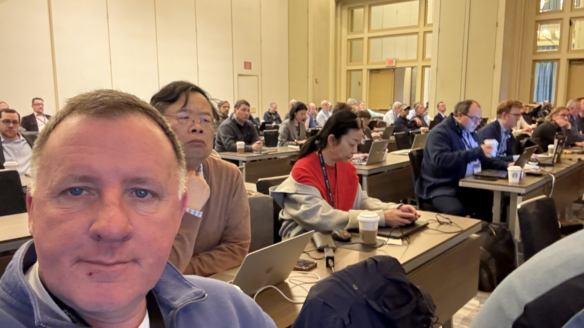
As Chair of the Board of Directors of the Open Geospatial Consortium (OGC) it was a pleasure to once again attend a Technical Committee meeting this week in Philadelphia, and while no longer participating in the technical work of the organisation it was an opportunity to take a step back and evaluate the role of OGC as a Standards Body.
OGC standards are used by governments, businesses, and academic institutions worldwide to create and manage geospatial data, and build enterprise applications and services, that work behind the scenes to make the modern world work!
Standards development organisations (SDOs) have been essential in bringing order and interoperability to complex domains. They provide a framework for creating and maintaining standards that ensure different products and services can work together seamlessly. At one level this is interoperability but there is more to it…
Convening Power: Bringing the Experts Together
One of the most important values of SDOs is their ability to convene and engage a diverse community of stakeholders. The OGC, for instance, brings together representatives from a wide range of organizations, including software developers, data providers, government agencies, and research institutions. This diverse participation ensures that a broad spectrum of perspectives and needs are considered in the standards development process.
The OGC’s convening power is particularly important because it brings together experts from different backgrounds and with different interests. This includes both competing commercial companies and government and academic users. This diversity of perspectives helps to ensure that the standards produced are not only technically sound, but also practical and meet the needs of a wide range of users.
Expanding the Circle: The New Individual Membership
To further enhance this convening power, the OGC recently announced a groundbreaking new class of membership: the Individual Membership. Officially launched at the Philadelphia Member Meeting, this initiative opens the door wider, providing a direct pathway for independent developers, consultants, professionals, and students to participate directly in working groups, code sprints, and testbeds.
This new membership class brings the potential for a significantly more diverse community. Interoperability improves when more implementers can share what they are seeing and surface edge cases. By lowering the barrier to entry, the Individual Membership aims to amplify voices from historically underrepresented regions—such as Latin America, Africa, and Southeast Asia. Broader geographic and professional participation makes the work more resilient, ensuring that an even wider range of perspectives helps shape the future of geospatial standards.
Process: Creating Confidence in the Standards
Another key value of the OGC is the rigorous process they follow for creating and maintaining standards. The process is designed to ensure that the standards are high quality, relevant, and supported by a consensus of the community. The title of this post “Any Objection to Unanimous Consent” comes from the Robert’s Rules of Order and is a commonly heard phase during meetings, representing a checkpoint for consensus – key to the process.
This process typically involves multiple stages, including:
- Working Groups: OGC working groups are formed to develop and maintain standards for specific areas of geospatial technology. These working groups are composed of experts from a wide range of organizations.
- Public Review: Once a draft standard has been developed, it is released for public review. This allows the broader community to provide feedback on the standard and ensure that it meets their needs.
- Approval: After public review, the draft standard is submitted to the OGC membership for approval. A majority vote is required to adopt the standard.
- Maintenance: The OGC provides ongoing maintenance for its standards. This involves updating the standards to reflect changes in technology and addressing any issues that may arise.
This rigorous process provides confidence in the standards and reports produced by the OGC. It ensures that the standards are technically sound, meet the needs of the community, and are supported by a consensus of the relevant stakeholders.
Part of my role and the role of the board and the leadership team of the OGC is to make sure that this process remains fit for purpose and relevant in the age of vibe coding and AI – Watch this space !
The OGC is a prime example of an SDO that creates significant value for its constituents. Its convening power, expanding community diversity, and rigorous processes ensure that the standards produced are high quality, relevant, and supported by a consensus of the community. The work of the OGC remains essential for enabling the effective use of geospatial information and for building a more connected and interoperable world.