Imagine a world where you never have to worry about buying the right train ticket again. Ok I know this does not sound like much of a problem, but then how well do you know the UK’s now mostly nationalised Railway system…
No more fumbling for change, wrestling with a complex app, or trying to figure out which fare is the cheapest for your journey.
This isn’t a distant dream—it’s a potential application of geospatial technology, and it’s being trialled in the UK right now.
Geospatial technology uses data related to a specific location, combining it with real-time information like GPS. This is the same tech that powers your favourite navigation apps, from Google Maps to Waze. However, its potential extends far beyond simply getting you from point A to point B.
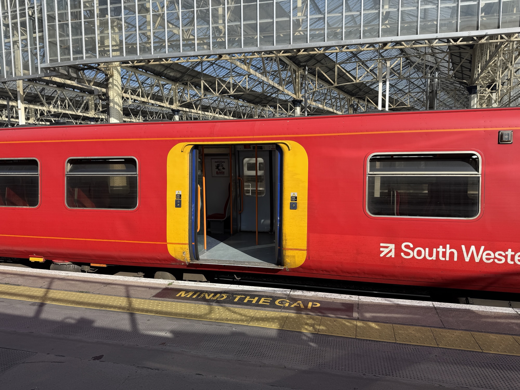
The UK government’s recent trial of location-based ticketing is a perfect example of this. Backed by nearly £1 million in government funding, the trial is happening in the Midlands and North, on East Midlands Railway and Northern trains.
The system uses a location-based app that tracks a passenger’s journey using GPS. As you travel, the app intelligently calculates the best fare for you, automatically charging your account at the end of the day.
This approach offers a significant upgrade from traditional paper tickets and even modern mobile tickets that use QR codes. It eliminates the need to pre-book, making travel more flexible and spontaneous. For ticket inspections or passing through barriers, the app generates a unique barcode. This is a game-changer for the daily commuter and the occasional traveller alike, as it ensures you always pay the optimal price without the hassle of guesswork.
While this technology has already been tested in Switzerland, Denmark, and Scotland, its implementation in England marks a significant step forward. It showcases how geospatial technology can be leveraged to modernise our transport systems, improve the passenger experience, and even encourage more people to use public transport.
As the world becomes increasingly connected, we can expect to see more innovative applications of geospatial technology, from smart urban planning to logistics and supply chain management. The rail trial in the UK is just the beginning of a new era of seamless, intelligent travel.
Oh and by the way is not called GeoTrainTicket 😉