This famous phrase by Chairman Mao can be subverted to focus on the final step of a journey, which is particularly relevant to solving one of the hardest problems in geospatial technology: the final 10-metre problem.
How can we provide high-accuracy pedestrian navigation or wayfinding to ensure users reach their actual final destination, such as the front door of a building, the office inside a large building, or the check-in desk at an airport?
For many, the solution to the final 10-metre problem would be a great convenience. However, for some, it’s vital because it represents a step change in accessibility, creating a more equitable experience for those with visual impairments and other disabilities.
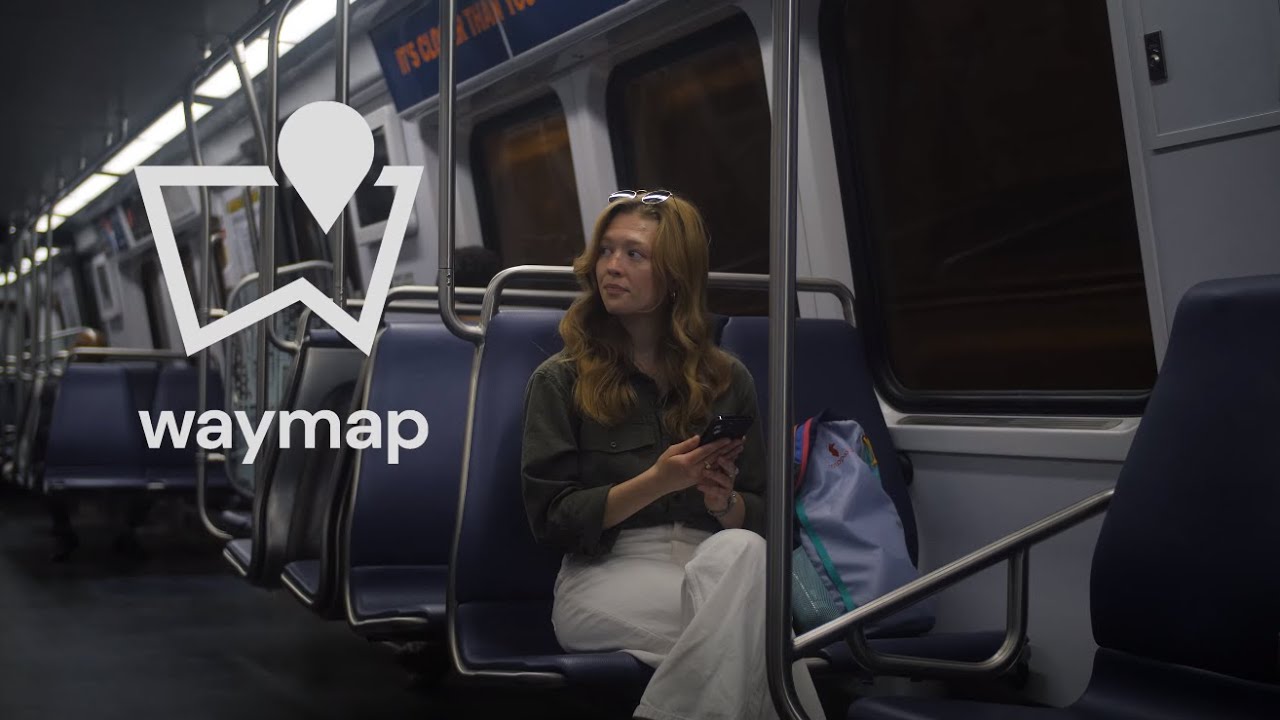
I’m thrilled to share some exciting news about a new advisory role I’ve taken on. I’m now serving as a Technical Adviser to the Board at Waymap, an innovative London-based firm that’s making significant waves in the personal navigation space. Waymap is one of a handful of fascinating small companies I’m supporting, and their mission particularly resonates with my passion for geospatial technology and accessibility.
Throughout my long career, first at Ordnance Survey and then at Google, I’ve been deeply intrigued by how we can use geography to organise and make the world’s information more accessible. Waymap is at the forefront of a new wave of personal navigation, with a crucial focus on precision for pedestrians, especially in challenging indoor environments and the crucial “last ten metres”.
valuable but difficult problems
What truly excites me about Waymap is their approach to solving “valuable but difficult problems” by breaking new ground to make personal navigation truly accessible and precise for all, thereby delivering significant social benefits.
For more details, visit the Waymap website. Some interesting aspects of their solution include:
- Waymap, founded by Dr. Tom Pey, a sight-loss survivor, is committed to accessibility at its core. Their mission is to genuinely work for everyone, transforming the lives of blind and disabled users and making the world easier to navigate for all.
- Waymap’s high-precision location determination allows for pedestrian navigation indoors and outdoors. This is a significant advantage, as Waymap uses a revolutionary algorithm that utilises only the motion sensors on your phone and your steps. This means no Wi-Fi, GPS, or external signal is required, enabling Waymap to work in various environments, including deep underground.
- Unlike Bluetooth beacons and costly installations, Waymap doesn’t require any physical infrastructure. This dramatically reduces deployment and upkeep costs for venues, as they only need a map of the building.
- Waymap offers a personalised experience by learning your walking style and understanding your individual requirements. It guides you hands-free with audio instructions.
Beyond its profound impact on accessibility, Waymap’s precision should improve the experience for everyone, including tourists, shoppers, and hospital patients. By deploying Waymap’s solution, organisations position themselves as leaders in the social aspect of ESG (Environmental, Social, and Governance).
I am thrilled to be working with the Waymap team as we push the boundaries of what’s possible in navigation.